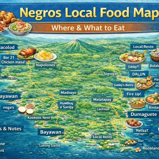
Negros Island Local Food Map
Negros Island Local Food Map – How It Actually Works
Food production on Negros Island is not evenly distributed. It concentrates in specific zones, moves through defined supply chains, and reaches markets through routes that follow the island’s road and coastal geography.
This map shows where that production sits and how it connects to the wider food system.
What the Map Shows
The map covers five layers of food production and supply across Negros Occidental and Negros Oriental.
Farmland forms the largest layer by area. Agricultural land spreads across both provinces — sugarcane dominates the western plains and lower slopes, rice and mixed crops appear in flatter inland areas, and smallholder plots fill the spaces between. The farmland layer shows the extent of that coverage rather than what each area produces. At island scale, the pattern that emerges is the concentration of agricultural land along the coastal plains and river valleys rather than in upland or mountainous interior zones.
Fish farms and aquaculture concentrate along the northwest coast — the flat coastal plain running from Silay through Victorias, Cadiz, Sagay, and toward San Carlos along the Visayan Sea. This is the most productive aquaculture zone on the island. Fishponds sit close to the shoreline where tidal access and flat land make pond management practical. The layer makes that concentration visible in a way that road travel alone does not.
Bakeries divide into two distinct layers. Chain bakeries — Merzci, Julie’s, Goldilocks, Red Ribbon, Pan de Manila, Bongbong’s — operate across multiple locations and follow the urban and road corridor distribution of any chain business. Local bakeries are independent operations, often producing pan de sal for immediate neighbourhood supply rather than for wider distribution. The two layers behave differently on the map. Chain bakeries cluster in city centres and along main roads. Local bakeries distribute more evenly across towns and barangays, appearing in places where no chain operation reaches.
Docks and landing sites mark where fish and coastal cargo move between sea and land. Coverage here is thin in the mapped data — most informal landing points along the coast are not recorded in OSM — but the layer shows the formal points where supply enters the road system.
How the Local Food System Actually Works
Food on Negros moves in two directions simultaneously — from production zones toward markets, and from markets outward to smaller trading points.
The northwest coast is the origin point for most of the island’s fish supply. Aquaculture production from the Silay–San Carlos coastal plain moves toward Bacolod through the main west coast highway. From Bacolod it reaches the island’s larger public markets and from there smaller municipal markets further south and east. The supply chain runs daily and depends on ice — cold storage and ice supply points along the route determine how far fish can travel before reaching a buyer.
Sugar moves differently. Sugarcane from the western plains does not pass through public markets in the same way. It moves directly from farm to mill — the centrals at Victorias, Ma-ao, Hawaiian-Philippine, and others along the west coast — and the processed product leaves the island rather than circulating within it. The farmland layer shows where the crop grows but the processing infrastructure sits mostly outside the mapped data.
Bread supply works at a more local scale. Pan de sal production is tied to neighbourhood demand. A local bakery in a barangay serves the immediate area, baking through the early hours and selling out by mid-morning. Chain bakeries such as Merzci and Julie’s operate on a different logic — fixed retail hours, consistent product, multiple branches drawing from centralised production.
The gap between these two systems is visible in the map. In municipal centres, chain and local bakeries coexist. In smaller barangays and rural areas, only local operations appear — and in some areas, none are mapped at all.
What the Layers Reveal Together
Viewed together, the farmland and aquaculture layers show the productive base of the island’s food supply. The bakery layers show one part of how that supply reaches daily consumption. The gap between them — processing, cold storage, transport, wholesale — is largely unmapped but present in the patterns the layers suggest.
The northwest coastal concentration of fish farms is the clearest spatial pattern in the data. That zone produces a significant share of the island’s aquaculture output, and its relationship to the west coast road corridor explains why Bacolod functions as the main distribution node for that supply.
The farmland layer at island scale shows something less obvious — how little of the interior is under cultivation compared to the coastal plains and river lowlands. Upland areas appear as gaps in the farmland coverage, which corresponds to the thinner market supply and longer transport times that characterise those zones.
How to Read This Map
The farmland layer is the heaviest in the data — over 1,300 polygons covering significant land area. It works best toggled on when looking at a specific zone rather than viewed at island scale where individual polygons become difficult to distinguish.
The fish farms and aquaculture layer is more useful at island scale because the northwest coastal concentration is the key pattern. Zooming into that zone shows how tightly the ponds cluster along the shoreline between Silay and San Carlos.
The local bakeries layer works as a settlement indicator. Where bakeries appear, a barangay has enough population density to support daily bread production. Where they disappear, the settlement pattern thins.
The docks layer is sparse by design — only formally mapped points appear, and most coastal landing activity happens at informal points not recorded in the data. It should be read as an incomplete indicator rather than a complete picture of coastal supply access.