Waterfalls & Springs Map – Negros Island
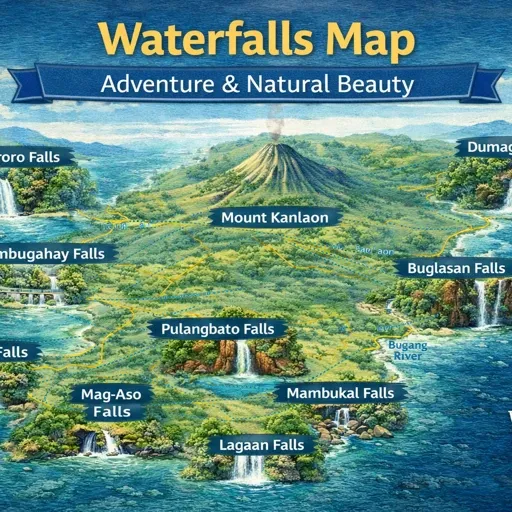
A waterfalls map with practical access notes—what’s easy, what becomes difficult in rain, and where the roads or trails change the experience. Built for slow travellers, not sprint itineraries.


A waterfalls map with practical access notes—what’s easy, what becomes difficult in rain, and where the roads or trails change the experience. Built for slow travellers, not sprint itineraries.
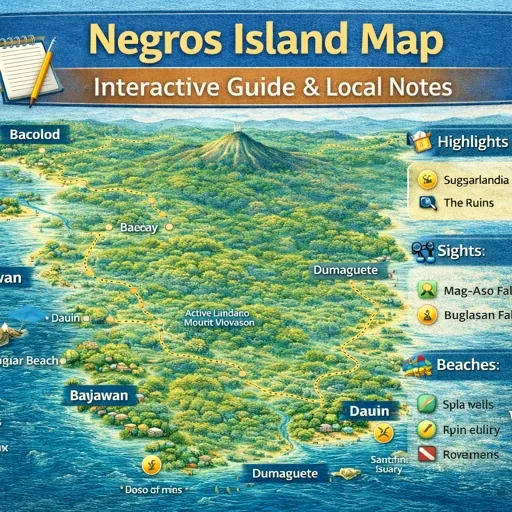
Place Maps Nine dedicated place maps cover the main cities, towns, and areas across Negros Island Region. Each one documents how that place actually functions — barangay structure, transport access, markets, accommodation, and the daily movement patterns specific to that…
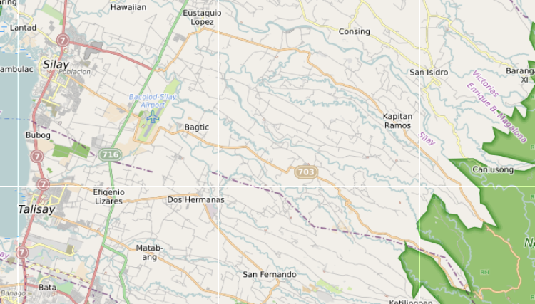
Siquijor Island – How It Actually Works Siquijor Island is best known for its beach towns, port entries, old church settlements, waterfalls, caves, and coastal villages that continue around the island rather than gathering into one dominant centre. It operates…
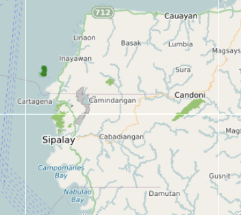
A practical Sipalay map showing town basics plus how to reach the coastline without guesswork—beach access points, simple errands, and the routes people actually use.
A clean road map for understanding Negros movement—main highways, the key mountain crossings, and the routes that naturally connect the island’s bases without backtracking.
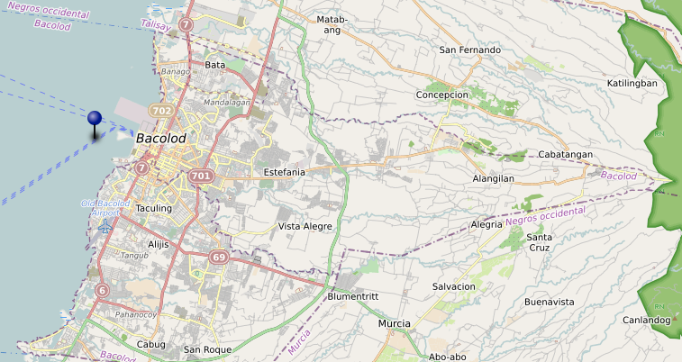
Barangays (334) Bacolod has 61 barangays. The map shows boundary lines and barangay centres for all of them, from the dense inner barangays close to the waterfront grid through to the large outer residential barangays to the north, east, and…
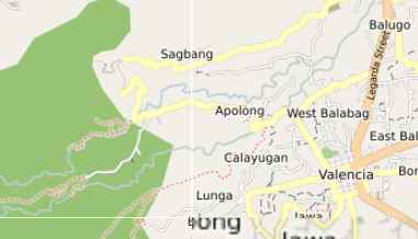
See full screen How Valencia Actually Works (Map + Upland Guide) Valencia sits only a few kilometres inland from Dumaguete, but it operates in a completely different rhythm. Where Dumaguete is coastal and dense, Valencia spreads across foothills at the…
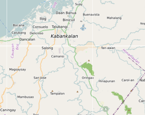
A clear Kabankalan map for travellers moving through South Negros—town structure, transport points, and the practical stops that matter more than sightseeing.
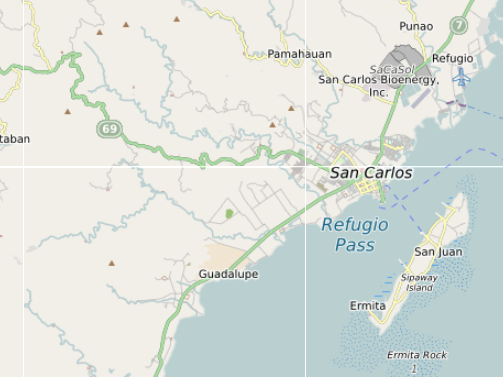
An orientation map for San Carlos with the essentials—transport anchors, main corridors, and the few reference points that help you move confidently on arrival.
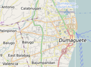
A lived-in Dumaguete map focused on movement and rhythm—where the town centres really are, how the waterfront connects to markets and transport, and the places that make long stays easy.