Negros Island Diving Map
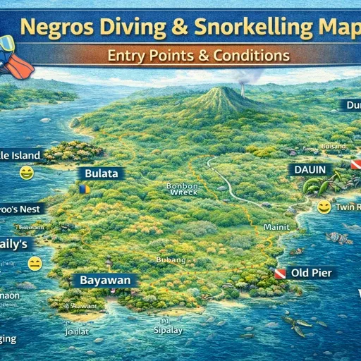
An island-wide diving overview for Negros—where diving is concentrated, what the entries are like, and the practical notes that help you pick a base without over-planning.


An island-wide diving overview for Negros—where diving is concentrated, what the entries are like, and the practical notes that help you pick a base without over-planning.
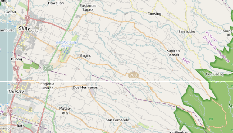
Siquijor Island – How It Actually Works Siquijor Island is best known for its beach towns, port entries, old church settlements, waterfalls, caves, and coastal villages that continue around the island rather than gathering into one dominant centre. It operates…
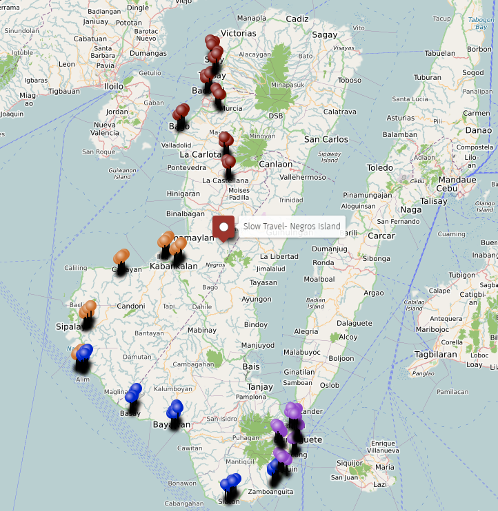
Sugar & Muscovado (10) Sugarcane defines the visual landscape of Negros Occidental more than any other crop. The industrial sugar belt runs north from Bacolod through Talisay, Silay, EB Magalona, Victorias, Manapla, Escalante, and San Carlos, and south through Bago,…
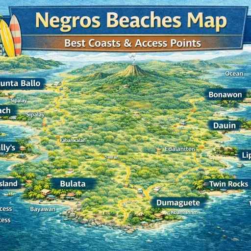
A focused beaches map for Negros—coastline feel, access notes, and the simple differences between west, east, and south. Built for people who want calm water and good logistics, not hype.
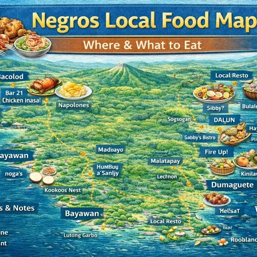
A calm local food map: carinderias, simple neighbourhood places, and stops that feel like real Negros life. Built to support long stays and daily routines, not checklist dining.
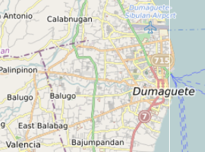
A lived-in Dumaguete map focused on movement and rhythm—where the town centres really are, how the waterfront connects to markets and transport, and the places that make long stays easy.
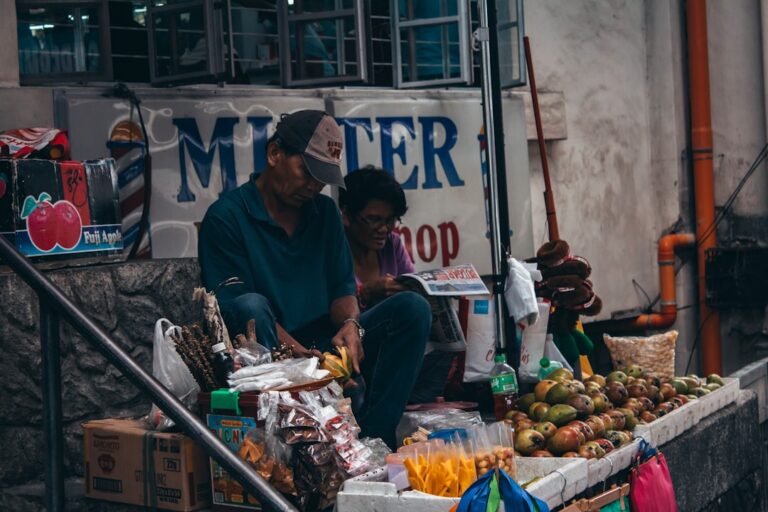
A respectful explanation of culture, pace, and expectations that aren’t written down.

Not fear-based—just practical habits that reduce stress and misunderstandings.
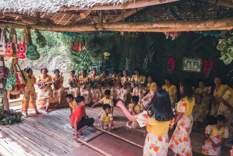
High-level considerations for families planning longer stays.
A realistic guide to connections, backups, and choosing places that work.